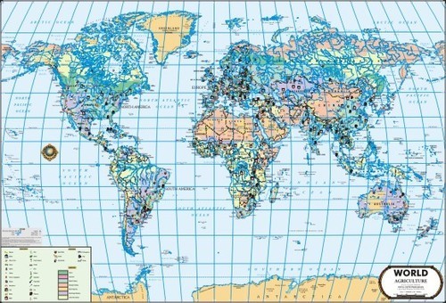
World Agriculture Maps
Product Details:
X
Product Description
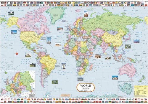
Having immense experience in this domain, we have been engaged in manufacturing and supplying premium grade World Agriculture Maps. These maps are used for showing total land area that is used for agriculture purpose in world. Offered maps contain information that is aggregated by crop production, area harvested and crop yields. Provided maps are digitally printed by our talented professionals with latest innovative techniques. These World Agriculture Maps are vary colorful, easy to understand and tear resistant.
Key Points:
- Laminated on both side
- Enhanced durability
- Perfect print
Other Products in 'World Wall Atlas ' category
Get in touch with us
NANDA CHITRA PRAKASHAN
Delhi, India
Delhi, India
- T-481/3E, Baljeet Nagar, Behind Patel Nagar Police Station, New Delhi India
- Phone :View Number
- Mr Nitin Nanda (Business Development)
- Mobile :View Number
- Send Inquiry
NANDA CHITRA PRAKAHASAN
All Rights Reserved.(Terms of Use)
Developed and Managed by Infocom Network Private Limited.
Developed and Managed by Infocom Network Private Limited.


